Displaying 11 - 18 of 18
9 July 2020
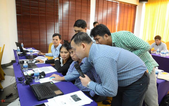
UNOSAT is the operational satellite applications programme of UNITAR, promoting evidence-based decision making for peace, security and resilience by using geospatial information technologies (GIT). One of UNOSAT’s main strategic objectives is to build and develop capacities of Member States to use earth observation (EO) and GIT. As a part of its capacity development activities, UNOSAT delivered a one-week training entitled “ASEAN Regional Training Course on Geospatial Big Data Applications for Sustainable Development” from 05-09 August 2019, together with regional partners in Sri Racha, Chon Buri, Thailand.
13 January 2020
The UNITAR Operational Satellite Training Programme (UNOSAT) contributes to human security, peace and socio-economic development by providing integrated satellite-based solutions for governments as well as relief and development organizations within and outside the UN system.
18 December 2019
With his increased technical and analytical understanding, Sopheap decided to create the agricultural geographic information webpage, where he could share everything he learned about the use of GIS in agriculture.
20 November 2018
From the course I learnt how to select altitude, or how to select by location, and how to collect the data. It’s a good app for us to collect some data for produce.
20 November 2018
It captured my attention a lot because that is what Guyana needs […] how to use GIS, especially in the area of DRR, but mostly for the emergency response.
29 November 2017
Before she participated in her first UNITAR training, Ms. Syeda Bushra Binte Amin was working at the Asian Disaster Preparedness Centre (ADPC), a regional organization focused on disaster preparedness in Bangladesh.
29 November 2017
“It was hard to know the exact damage area from flood, drought or other disaster because they happened fairly frequently and all estimates were done manually. Now, with GIS we can show our department and ministry a clear picture of the area of disaster and other important information quickly”.
28 November 2017
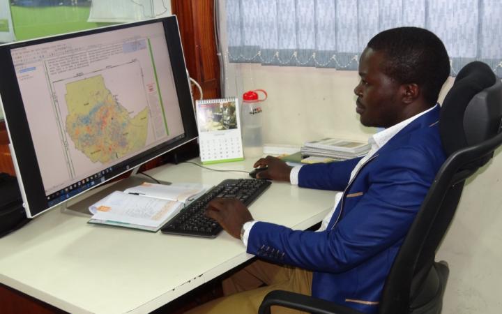
“Instead of the old method of information sharing, I now use technologically advanced tools to convert probability of precipitation to actual rainfall amounts for specific areas, and that final output is put into GIS maps with which farmers can interact and understand.”


